Estudiantes de SPAN 406 | Prof. Helen Freear-Papio, Spanish
Mapping Theater’s Stories
![]()
Mapping Marginalized Voices in the Contemporary Theater of Spain.
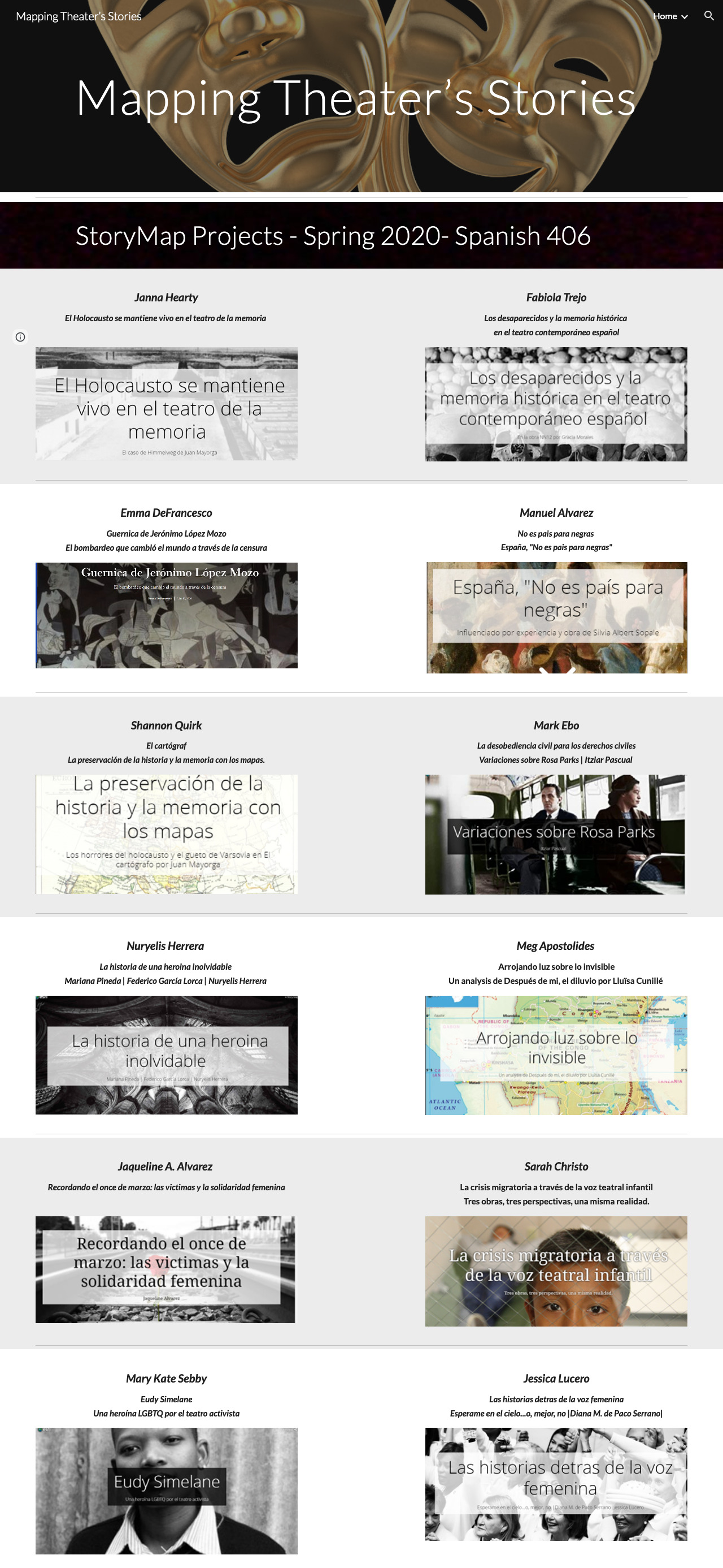
In SPAN 406, Modern Spanish Theater, Professor Freear-Papio’s students completed a semester-long Story Map project using Cascading Story Maps, a type of Arcgis mapping software. All the plays studied contained some geographical component to facilitate the use of maps. The students chose a play on the first day of class and over the course of the semester, built a Story Map (SM) about it. As you will see, the SMs tell the play’s story in audiovisual terms as they allow for images, text and video as well as maps. Each SM presents not only an analysis of the play’s plot, themes, and characters, but also its unique socio-cultural and political subtexts, all in a highly visually engaging way.
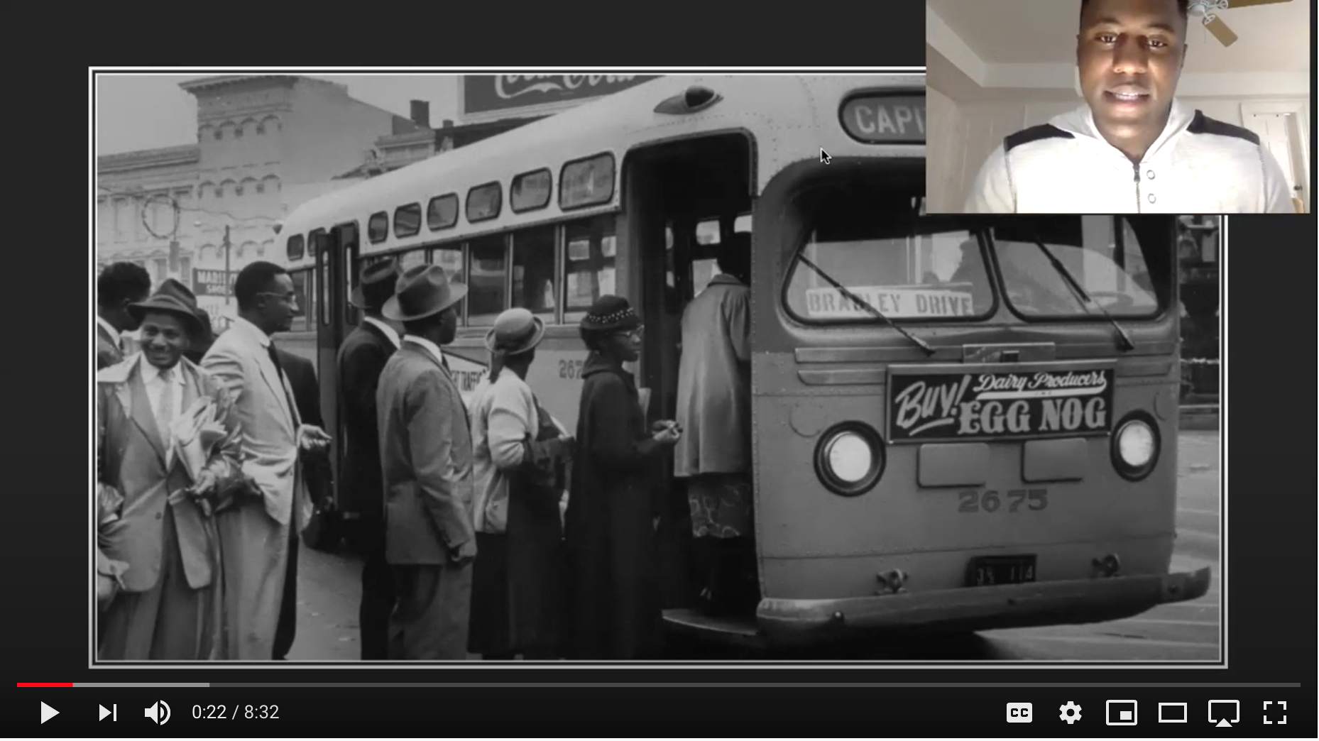
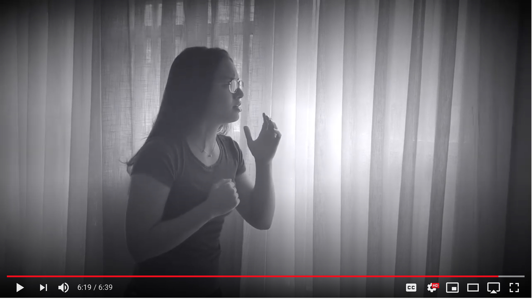
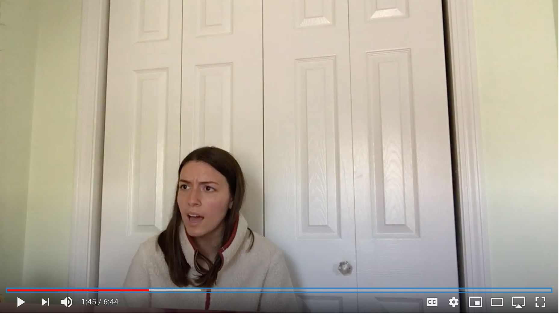
The students' creative oral presentations also form part of the SM. These are original monologues in which the student adopts the voice of one of the characters and imagines a backstory for the character, a new ending or a conversation with another character that never actually happened. The students’ SMs visualized plays that took place all over the world, from the United States, to Spain, from Warsaw to Equatorial Guinea and South Africa and they gave voice to concentration camp victims, racial minorities, the LGBTQIA+ community, immigrants, victims of terror and the disappeared.
When campus closed for the COVID-19 emergency, students continued working remotely, staying connected to the works and to one another through their projects. The monlogues that appear below were filmed at home.
Access to the story maps is limited to participants, but the image above and the examples below give a sense of the pedagogical power of inhabiting the voices and spaces of the marginalized through theater.
Mapping Theater’s Stories

Mapping Marginalized Voices in the Contemporary Theater of Spain.
In SPAN 406, Modern Spanish Theater, Professor Freear-Papio’s students completed a semester-long Story Map project using Cascading Story Maps, a type of Arcgis mapping software. All the plays studied contained some geographical component to facilitate the use of maps. The students chose a play on the first day of class and over the course of the semester, built a Story Map (SM) about it. As you will see, the SMs tell the play’s story in audiovisual terms as they allow for images, text and video as well as maps. Each SM presents not only an analysis of the play’s plot, themes, and characters, but also its unique socio-cultural and political subtexts, all in a highly visually engaging way.
The students' creative oral presentations also form part of the SM. These are original monologues in which the student adopts the voice of one of the characters and imagines a backstory for the character, a new ending or a conversation with another character that never actually happened. The students’ SMs visualized plays that took place all over the world, from the United States, to Spain, from Warsaw to Equatorial Guinea and South Africa and they gave voice to concentration camp victims, racial minorities, the LGBTQIA+ community, immigrants, victims of terror and the disappeared.
When campus closed for the COVID-19 emergency, students continued working remotely, staying connected to the works and to one another through their projects. The monlogues that appear below were filmed at home.
Access to the story maps is limited to participants, but the image above and the examples below give a sense of the pedagogical power of inhabiting the voices and spaces of the marginalized through theater.
 Mark Eb
